Saint-Pierre and Miquelon is a French archipelago lying in the mouth of the Gulf of Saint Lawrence. It is made up of small, low-lying islands connected by fragile dune ridges: the Miquelon Langlade isthmus (11km), the Mirande dune (3km) and the western dune. This situation exposes the archipelago to the known consequences of climate change, such as storms, rising sea levels, and coastal erosion.
Some infrastructure is jeopardised and major protective actions are often taken at urgent notice. The archipelago’s size severely limits strategic options.
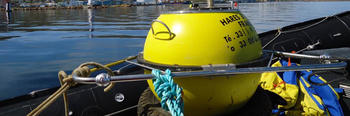
The Saint-Pierre and Miquelon Department for Regional Development, Agriculture, and Maritime Affairs (DTAM 975) wanted to carry out research into climate change and its effects on the Saint-Pierre and Miquelon islands. Initial areas of research revealed the importance of recording offshore sea states.
DTAM 975 therefore decided to install a swell measurement station on Saint-Pierre and Miquelon.
DTAM 975 wanted to obtain:
-
A swell measurement point representative of the waves breaking on Saint-Pierre and Miquelon
-
An archived series of measurements taken over several years, in order to identify the average wave state and estimate the height of extreme waves
-
Real-time measurements, with the data fed into Météo-France forecasting models, and used to inform mariners of sea states
Department for Regional Development, Agriculture, and Maritime Affairs
Saint-Pierre-et-Miquelon
Population: 6080
Water, Sea and Rivers Department
Environment and Risks Department
Hydraulic Measurements & Modelling Division
Have a question about our activity on . Do not hesitate to contact us.

