

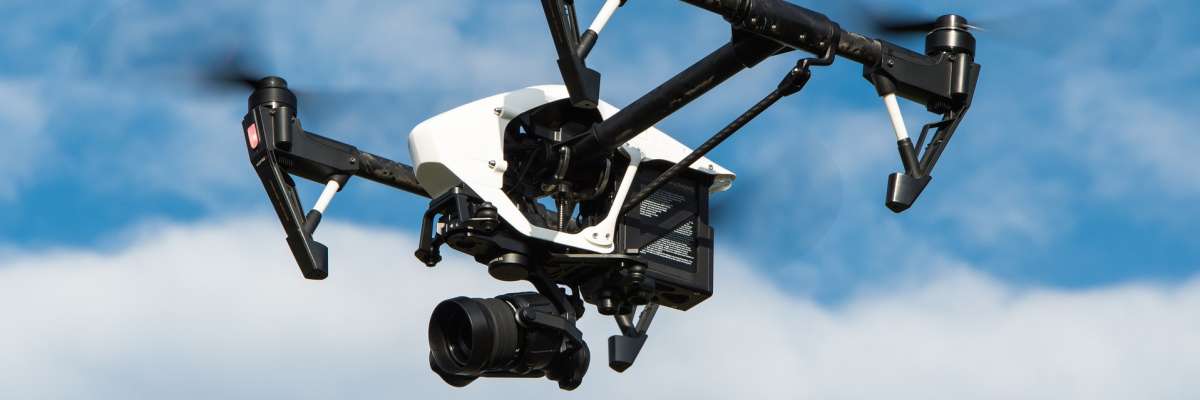
The objective of the COPTER project is to implement a system providing an enlarged perception system of a road scene by coupling an autonomous land vehicle and a drone (Unmanned Aerial Vehicle or UAV). The idea is to explore the possibilities offered by the drone-vehicle coupling for the perception of the scene seen from the land vehicle by the use of a drone constantly moving around the vehicle. The aim is to provide a 3D reconstruction by discriminating the static part (infrastructure, buildings) and the dynamic part (vehicles, pedestrians, …).
In recent years, there has been an increasing dissemination of mobile robotics to all industrial and service activities. Currently, electronic systems embedded in robotic platforms have a processing capacity equivalent to the power of a computer a few years ago. These growing capabilities make the system more intelligent - autonomous in its actions and cooperative with other machines - by endowing it with capabilities (sensors and software) for perception, communication, and decision.
The objective of the COPTER project is to implement a system providing an enlarged perception system of a road scene by coupling an autonomous land vehicle and a drone (Unmanned Aerial Vehicle or UAV). The idea is to explore the possibilities offered by the drone-vehicle coupling for the perception of the scene seen from the land vehicle by the use of a drone constantly moving around the vehicle. The aim is to provide a 3D reconstruction by discriminating the static part (infrastructure, buildings) and the dynamic part (vehicles, pedestrians, …).
The challenges include:
-
Development of on-board processing to merge the information perceived from different modalities and points of view;
-
Coordination of the drone's movements in relation to those of the land vehicle;
-
Robustness of the communication link between the vehicle and its drone, particularly in harsh environments;
-
Extraction of useful information for the processing of data for autonomous navigation or traffic analysis tasks.
Cerema's action will be the subject of application work on the drone / vehicle perception system for its use in scenarios for analysing road traffic and trajectories. The system will also contribute to the implementation of new means of mobility, for example the autonomous vehicle. From the data collected by the drone system and the fusion methods which will allow them to be associated with the ground perception means (on board a ground vehicle), work will be carried out on the extraction of dynamic objects from the scene and monitoring methods (by one or other of the modes of perception or by a cooperative mode) for its use in the analysis of trajectories. It validates the on-board measurements by a roadside device developed in the context of the project.
-
Esigelec /Irseem
-
University of Rouen / LITIS
-
Normandy Regional Council
-
European Union
You have a question ?