
This article is part of the folder : Télédétection par drone du trait de côte: un projet de recherche piloté par le Cerema
See the 2 news related to this folder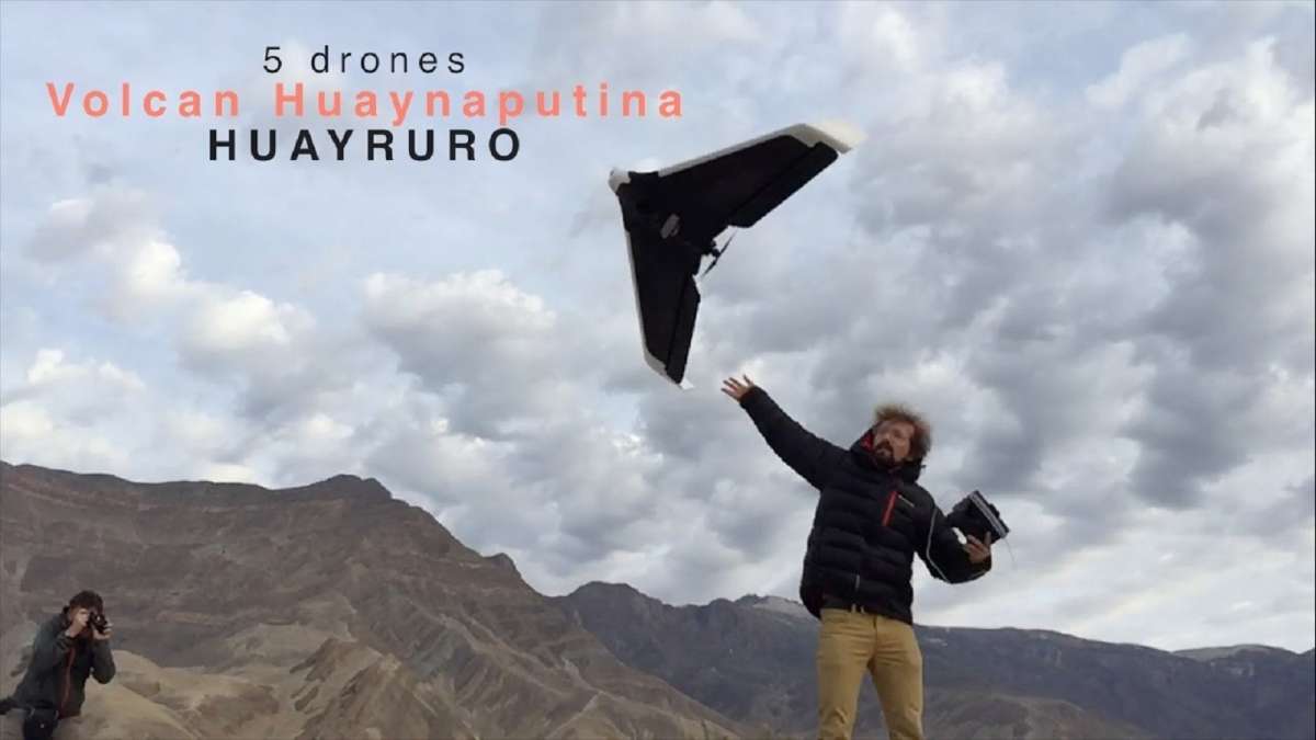

News from the ENDSUM: Non Destructive Assessment of Structures and Materials
Learn about the team, their challenges, its members, and the latest news...... by consulting his page
Around 30 sites were buried beneath 1-2m of ash when Huaynaputina erupted in 1600, just like Pompeii following the eruption of Mount Vesuvius in 79 CE. It was the biggest volcanic event of the past 500 years: the effects of the eruption were felt on a global scale, causing Earth’s temperature to fall by 1 degree, and causing famine and epidemics in Europe, Russia, and Asia.
The Huayruro project, a multidisciplinary project encompassing geophysics, geology, archaeology, botany, history, and education science, is led by the Geophysical Institute of Peru (IGP), the Institute of Geology, Mining, and Metallurgy (INGEMMET), the Université de la Réunion, Cerema, the Clermont-Ferrand Magmas and Volcanoes Laboratory (LMV), and the Moquegua Regional Government in Peru. The project was declared of regional interest to Moquegua in May 2016, before being declared of national public interest and a public necessity that November.
Cerema has been working within the area devastated by the volcano since 2015, notably to map the remains that lie buried in the subsoil, using geophysical imaging techniques that were tried and tested in Normandy (Bec Abbey).

The Huayruro 2015 project brought together researchers from 12 institutes and universities in France, Peru, Chile, and Bolivia. In close partnership with INGEMMET, the research team met with local authorities to make sure that the local community was fully involved in the project. The project will further our understanding of the disaster in 1600 and the impact it had, especially on biodiversity.
What’s more, the authorities aim to both improve quality of life for local communities and boost the area’s economic development by promoting geotourism to this vast Inca site.
In early November, Ruddy Perea**, an archaeologist from the UCSM (Universidad Católica de Santa María) and director of the Arequipa Santuarios Andinos museum, organised a field trip to the Calicanto site. The government was provided with a detailed mapping of the remains, enabling the buildings to be excavated in spring 2019.
The project’s ultimate goal is the economic development of the Omate and Tambo valleys via geotourism, by building a museum at the Calicanto site and creating tourist trails around Huaynaputina.
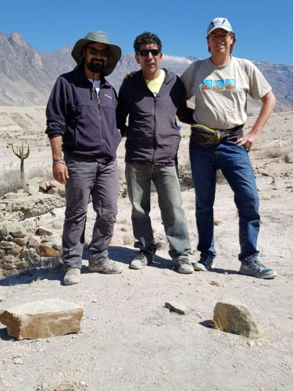
Photo from left to right: Raphaël Antoine, a researcher in Cerema’s ENDSUM team, Ruddy Perea, Peruvian archaeologist from the Universidad Católica de Santa María and Anthony Finizola, lecturer at the Reunion Geoscience Lab at the Université de La Réunion.
Using drones in the Huayruro project
**Ruddy Perea is an archaeologist and director of the Santuarios Andinos museum. He is a member of the team that has discovered many mummies at the summit of Peruvian volcanoes (including Mummy Juanita on Ampato), along with the archaeologist Jose Antonio Chavez and the explorer Johan Reinhard from national Geographic.
News from the ENDSUM: Non Destructive Assessment of Structures and Materials
Learn about the team, their challenges, its members, and the latest news...... by consulting his page
In the folder : Télédétection par drone du trait de côte: un projet de recherche piloté par le Cerema