This article is part of the folder : L'imagerie et les données satellitaires pour l'observation du territoire
See the 29 news related to this folder
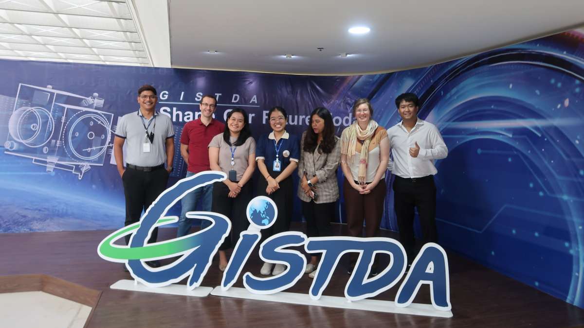
Teodolina Lopez and Arnaud Ceyte, two remote sensing specialists from Cerema’s satellite team were in Bangkok at the beginning of June 2023 alongside the GISTDA (Geo-Informatics and Space Technology Development Agency) and Airbus Defence and Space. They provided an on-the-job training for the Thai space agency geoinformatics specialists on the use of Pléiades satellites images in anticipation of the launch of their next satellite, THEOS-2 (Thailand Earth Observation System-2), manufactured by Airbus Defence and Space and which will be operational soon.
 For this on-the-job training course, Airbus DS and TerraNIS called on Cerema’s satellite team for its expertise in one of its flagship subjects, the study of urban heat islands phenomenon using the LCZ (Local Climate Zone) method, developed during the SatLCZ project funded in 2020 by the Space Climate Observatory (https://www.spaceclimateobservatory.org/satlcz-lille).
Regarding urban development issues, Cerema, GISTDA and the Thai National Housing Authority discussed their respective local specificities in order to better understand the added value in Thailand of LCZ diagnostic and its derived indicators.
The trainees learnt to produce multi-temporal LCZ data for a selected area located near Pattaya (Thailand), to use basic remote sensing functions in QGIS and to develop processing chains based on QGIS graphic modelers. This support enables to monitor changes in LCZ classifications over 3 Pleiades monoscopic images (2013, 2018 and 2022) in the context of an area with strong urban dynamics.
This 2-weeks on-the-job training followed on a thematic training course, also given by the Cerema satellite team to GISTDA in June 2022, in partnership with TerraNIS, on the production of UCZ (Urban Climate Zone) classification and associated urban indicators.
Cerema's method for identifying LCZ using satellite images has been developed in France and applied in particular to map urban heat islands in Nice and Nancy:
Contact
Arnaud CEYTE, Head of the Satellite Observation and Climate Change Group..
Email : arnaud.ceyte@cerema.fr
In the folder : L'imagerie et les données satellitaires pour l'observation du territoire

